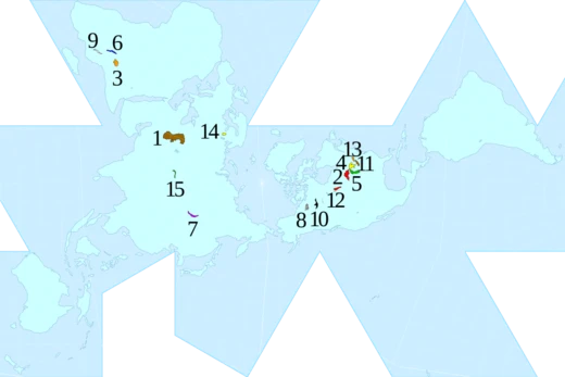
Lake Titicaca
Highest navigable lake in the world.

bobistraveling · CC BY 2.0
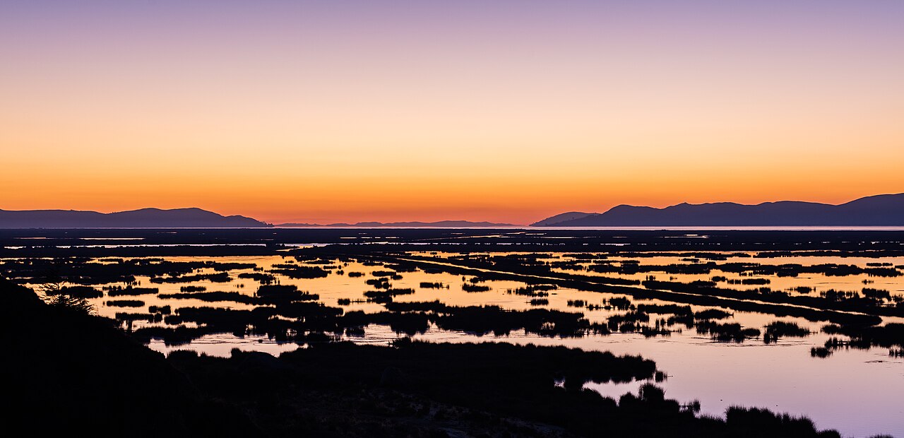
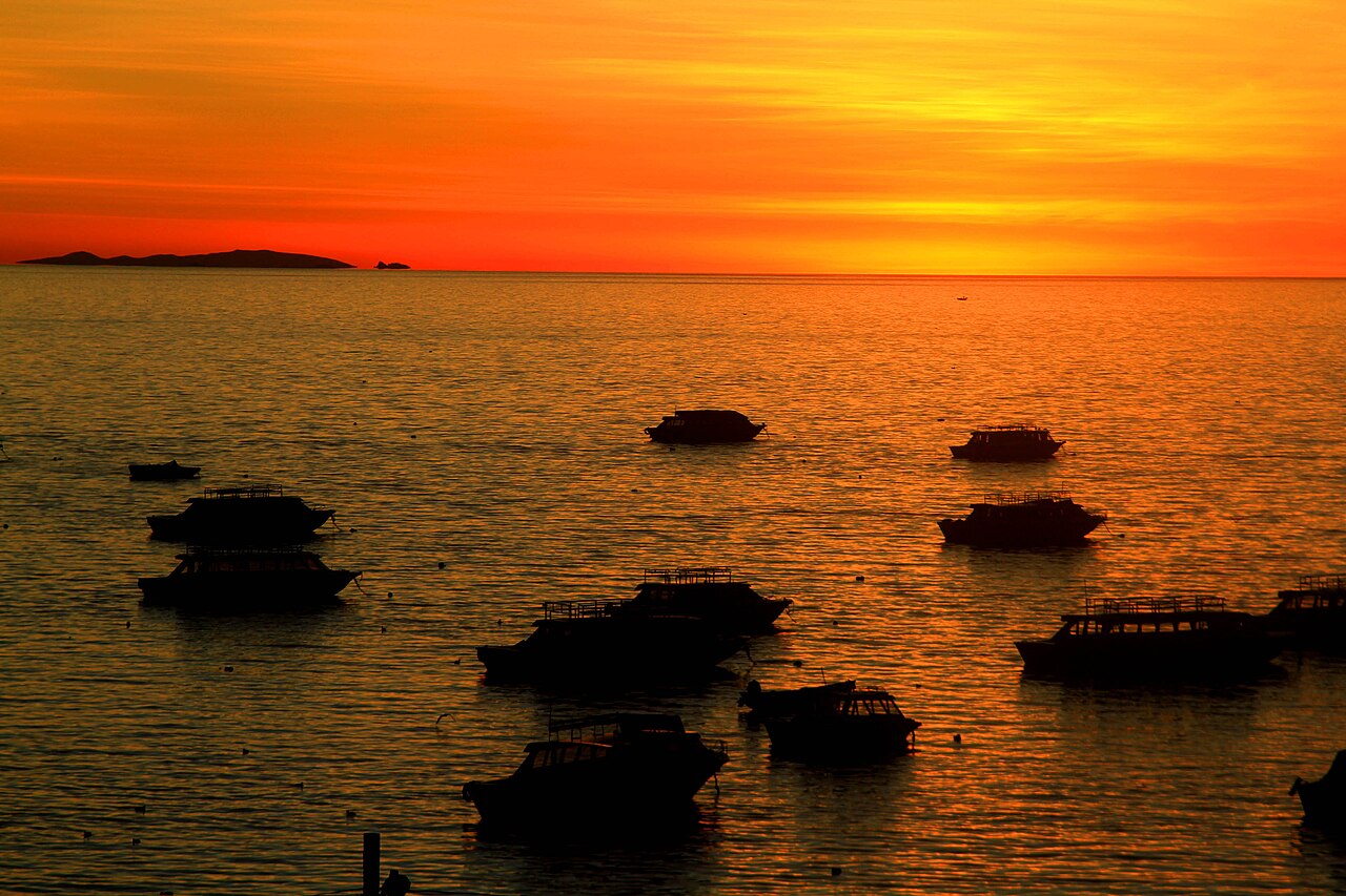
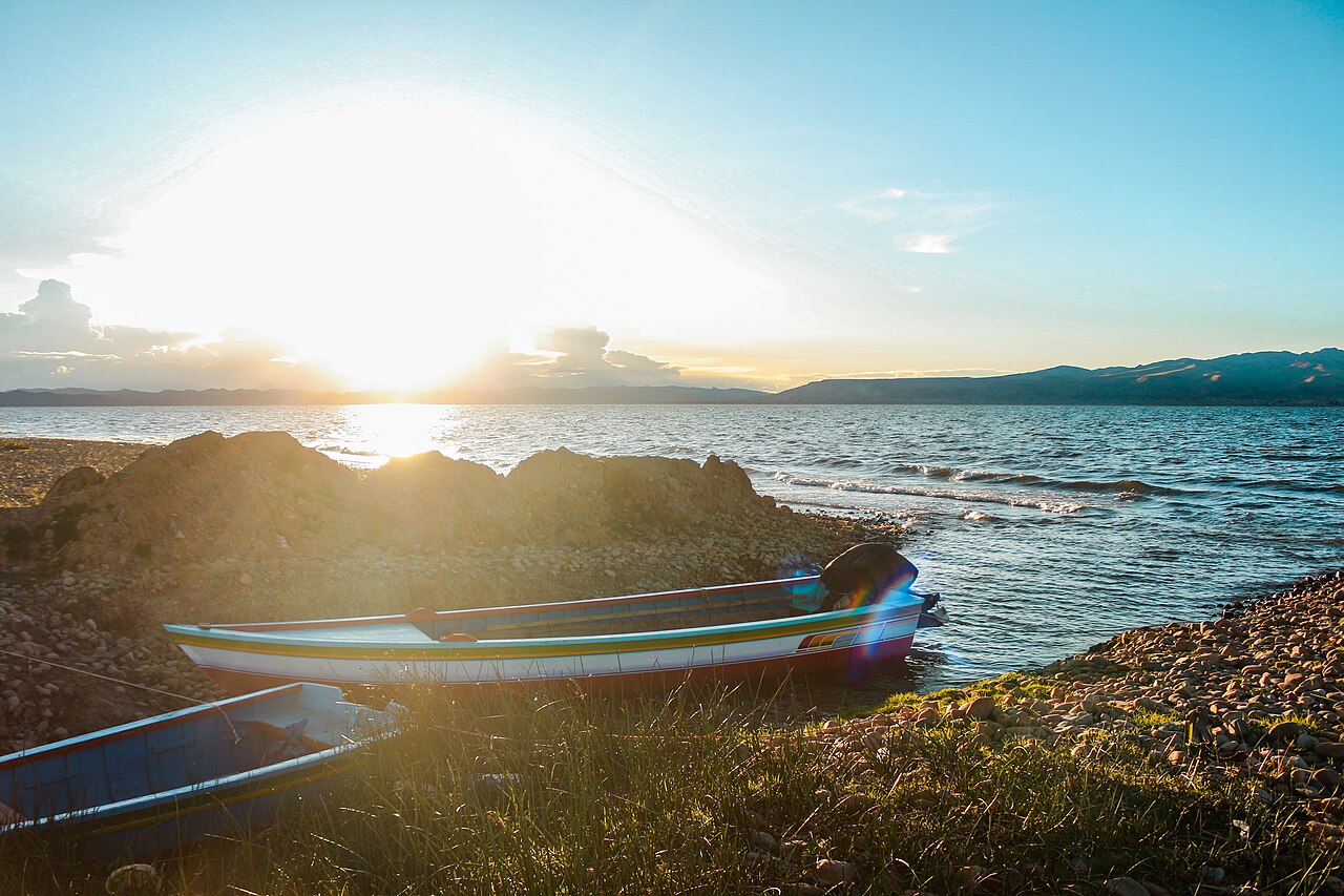
Lake Titicaca is a large lake in the Andes mountains on the border of Bolivia and Peru. It is often called the highest navigable lake in the world. It is often listed as a freshwater lake, though its waters are slightly brackish. Titicaca is the largest lake in South America, both in terms of the volume of water and surface area. It is the 18th largest lake in the world. It has a surface elevation of 3,812 m (12,507 ft).
- Surface area
- 8,372 km²
- Surface elevation
- 3,812 m (12,507 ft)
- Average depth
- 107 m (351 ft)
- Maximum depth
- 284 m (932 ft)
- Location
- Border of Peru and Bolivia
- Type
- Freshwater (slightly brackish), monomictic
Verified Timeline
Lore & Background
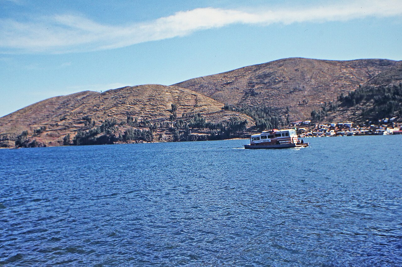
Lake Titicaca lies at the northern end of the endorheic Altiplano basin high in the Andes on the border of Peru and Bolivia. The western part lies within the Puno Region of Peru, and the eastern side is in the Bolivian La Paz Department. The lake consists of two nearly separate subbasins connected by the Strait of Tiquina, which is 800 m across at the narrowest point. The larger subbasin, Lago Grande (also called Lago Chucuito), has a mean depth of 135 m and a maximum depth of 284 m. The smaller subbasin, Wiñaymarka (also called Lago Pequeño), has an average depth of 9 m and a maximum depth of 40 m. The overall average depth is 107 m. Five major river systems feed into Lake Titicaca: Ramis, Coata, Ilave, Huancané, and Suchez. More than 20 other smaller streams empty into it. The lake has 41 islands, some densely populated. Having only a single season of free circulation, the lake is monomictic, and water passes through Lago Huiñaimarca and flows out the single outlet at the Río Desaguadero, which then flows south through Bolivia to Lake Poopó. This only accounts for about 10% of the lake's water balance; evapotranspiration balances the remaining 90%. Its waters are slightly brackish, with UNESCO reporting salinity ranging from 5.2-5.5 parts per 1000. It is nearly a closed lake. Since 2000, Lake Titicaca has experienced constantly receding water levels. Between April and November 2009 alone, the water level dropped by 81 cm, reaching the lowest level since 1949. This drop is caused by shortened rainy seasons and the melting of glaciers feeding the tributaries. Water pollution is also an increasing concern because cities in the watershed grow, sometimes outpacing solid waste and sewage treatment infrastructure. According to the Global Nature Fund, Titicaca's biodiversity is threatened by water pollution and the introduction of new species by humans. A 2011 United Nations report found alarming concentrations of cadmium, arsenic, and lead in various parts of the lake. In 2012, the GNF nominated the lake 'Threatened Lake of the Year'. The name Titicaca likely derives from the sacred rock thakhsi cala on the Isla del Sol, used by the Spaniards as the name for the lake. In Aymara, titi can mean puma, lead, or a heavy metal; caca can mean white or grey hairs of the head, or crack or fissure. The lake was also known as Chuquivitu in the 16th century, which survives in modern usage as Lago Chucuito. Locally, the southeast quarter is called Lago Huiñaymarca (Wiñay Marka, meaning the Eternal City) and the larger part Lago Chucuito; in Peru they are called Lago Pequeño and Lago Grande.
Reader's Guide
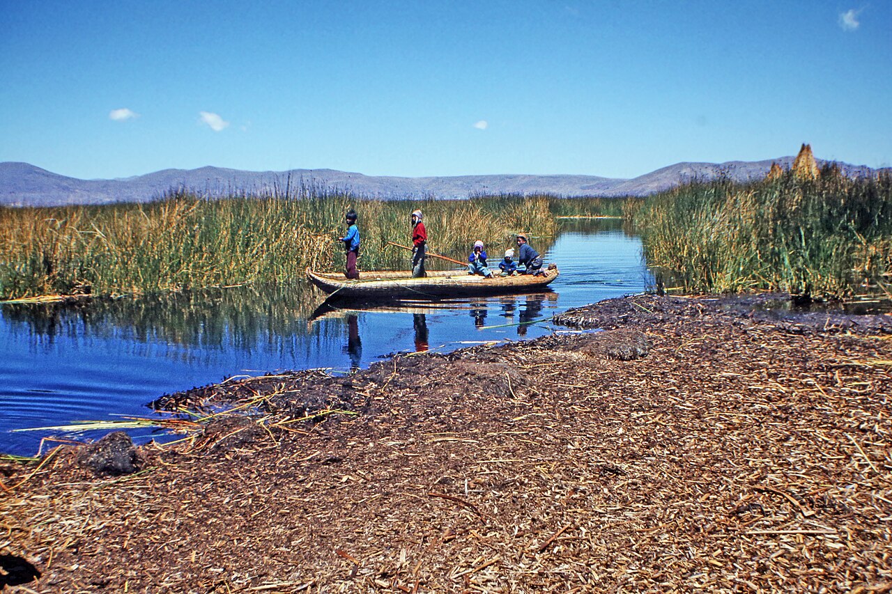
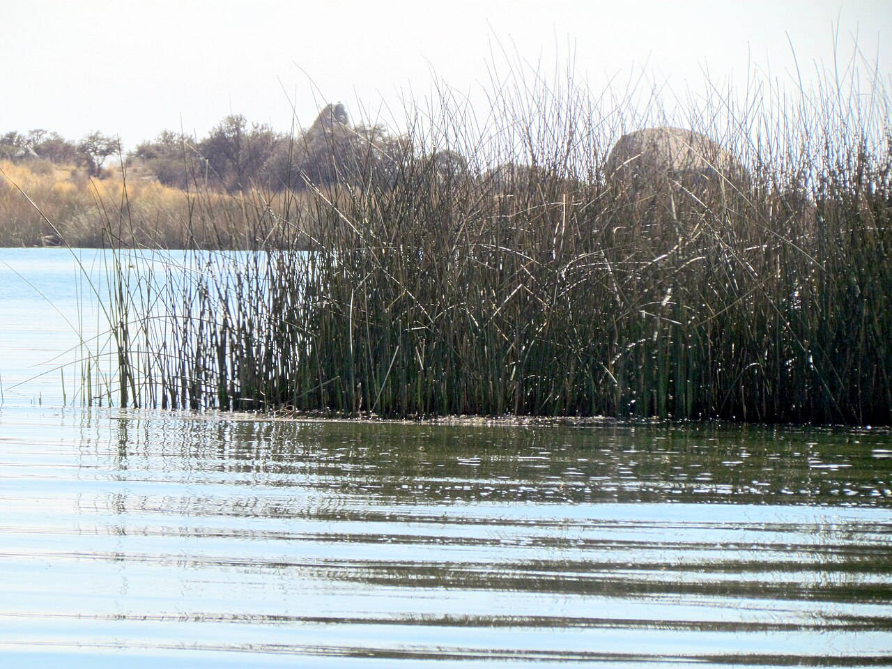
With a surface area of 8,372 km² and an elevation of 3,812 m, Lake Titicaca is often called the highest navigable lake in the world, generally considered to refer to commercial craft. For many years, the largest vessel afloat was the 2,200-ton, 79 m SS Ollanta. Today, the largest vessel is most likely the similarly sized train barge Manco Capac, operated by PeruRail. The lake is home to more than 530 aquatic species. It holds large populations of water birds and was designated as a Ramsar Site on August 26, 1998. It has also been designated an Important Bird Area by BirdLife International. Several threatened species such as the huge Titicaca water frog and the flightless Titicaca grebe are largely or entirely restricted to the lake. Birds associated with water at Titicaca include the white-tufted grebe, Puna ibis, Chilean flamingo, Andean gull, Andean lapwing, white-backed stilt, greater yellowlegs, snowy egret, black-crowned night-heron, Andean coot, common gallinule, plumbeous rail, various ducks, wren-like rushbird, many-colored rush-tyrant, and yellow-winged blackbird. The Titicaca orestias has likely become extinct (last seen in 1938) due to competition and predation by introduced rainbow trout and the silverside Odontesthes bonariensis. Native fish include other Orestias species, and the catfish Trichomycterus dispar, T. rivulatus, and Astroblepus stuebeli. About 90% of the fish species in the basin are endemic, including 23 species of Orestias only found in the lake. Titicaca is home to 24 described species of freshwater snails (15 endemics) and less than half a dozen bivalves. The lake also has an endemic species flock of amphipods consisting of 11 Hyalella. Reeds and other aquatic vegetation are widespread; Totora sedges grow in water shallower than 3 m, and macrophytes like Chara and Potamogeton occur down to 10 m. Geologically, the Tinajani Basin is an intermontane pull-apart basin created by strike-slip movement along regional faults starting in the late Oligocene and ending in the late Miocene. Lacustrine sediments of the Lower Tinajani Formation demonstrate the presence of an ancestral Lake Titicaca between 18 and 14 million years ago. A 136-m-long drill core recovered from the bottom of Lake Titicaca at a depth of 235 m contains a continuous record back to about 370,000 BP. For this period, Lake Titicaca was typically fresher and had higher lake levels during global glacial periods, and low lake levels during interglacial periods.
Did You Know?
- Lake Titicaca is the largest lake in South America, both in volume and surface area, and the 18th largest lake in the world.
- The lake has 41 islands, some of which are densely populated.
- Only about 10% of the lake's water loss is through its single outlet, the Río Desaguadero; the rest is lost to evapotranspiration.
- The Titicaca orestias, a native fish, has likely become extinct (last seen in 1938) due to introduced rainbow trout and silverside.
- A 136-meter drill core from the lake bottom provides a continuous environmental record going back about 370,000 years.
Geography & Physical Structure
Perched at the northern edge of the Altiplano basin in the Andes, Lake Titicaca straddles the international boundary between Peru and Bolivia. Its western waters fall within Peru's Puno Region while the eastern expanse belongs to Bolivia's La Paz Department. The lake is divided into two distinct subbasins linked by the narrow Strait of Tiquina, which measures just 800 metres at its tightest point. The larger of the two, known as Lago Grande or Lago Chucuito, plunges to a mean depth of 135 metres and a maximum of 284 metres. Its smaller counterpart, Wiñaymarka (or Lago Pequeño), averages only 9 metres deep with a maximum of 40 metres. Across the whole system, the average depth sits at 107 metres. Five principal river systems—Ramis, Coata, Ilave, Huancané, and Suchez—deliver the bulk of inflow, supplemented by more than twenty smaller streams. The lake also shelters 41 islands, several of which support dense human settlements. By both volume and surface area, Titicaca claims the title of South America's largest lake and ranks 18th globally.
Hydrology & Environmental Pressures
Titicaca operates as a nearly closed, monomictic system, experiencing only one season of full water circulation each year. Outflow is limited to a single channel: water drains through the smaller Wiñaymarka subbasin and exits via the Río Desaguadero, which carries it southward through Bolivia to Lake Poopó. Yet this outlet accounts for barely 10 percent of the lake's total water balance. The remaining 90 percent is lost to evapotranspiration, driven by the fierce winds and intense solar radiation at 3,812 metres altitude. UNESCO measurements place salinity between 5.2 and 5.5 parts per thousand, confirming the water is slightly brackish. Since 2000, the lake has suffered persistent water-level decline. Between April and November 2009, the surface fell 81 centimetres, touching its lowest mark since 1949—a trend attributed to shortened rainy seasons and retreating glaciers that feed the tributaries. Compounding these physical stresses, expanding cities in the watershed have outpaced sewage and waste-treatment capacity. A 2011 United Nations report flagged dangerous concentrations of cadmium, arsenic, and lead, and in 2012 the Global Nature Fund named Titicaca its "Threatened Lake of the Year."
Nomenclature & Cultural Roots
The name "Titicaca" likely did not exist as a single, universally accepted label in prehistoric times or when Spanish conquistadors first arrived. In Aymara, "titi" can mean puma, lead, or a heavy metal, while "caca" refers to the white or grey hairs of the head, and "k'ak'a" can denote a crack, a fissure, or the comb of a bird. In 1948, the Aymara community told anthropologist Weston La Barre that the proper name was titiq'aq'a—meaning a grey, discolored, lead-colored puma—pointing to the sacred carved rock on Isla del Sol. The 16th-century name Chuquivitu, loosely "lance point," also appears in historical records and survives in the occasional use of Lago Chucuito. Scholar Stanish proposes the modern name is a corruption of thakhsi cala, the 15th- to 16th-century designation for that same sacred rock. Because no common lake name existed, the Spaniards likely borrowed the shrine site's name, which gradually evolved into Titicaca through everyday usage. Locally, the smaller southeastern subbasin is called Huiñaymarca (Wiñay Marka, "the Eternal City") by Bolivians, while the larger body is Lago Chucuito or Lago Mayor.
Ecology & Living World
Lake Titicaca sustains more than 530 aquatic species, a remarkable level of diversity for a body of water sitting at 3,812 metres. Its waters support large populations of water birds, earning it designation as a Ramsar Site on August 26, 1998, and recognition as an Important Bird Area in both Bolivia and Peru by BirdLife International. Among the most remarkable residents are two species found nowhere else: the enormous Titicaca water frog and the flightless Titicaca grebe, both largely or entirely restricted to the lake and both classified as threatened. Other avian species associated with the lake include the white-tufted grebe, Puna ibis, Chilean flamingo, Andean gull, Andean lapwing, and white-backed stilt. Yet this biodiversity faces growing pressure. The Global Nature Fund has warned that water pollution and the human introduction of non-native species pose serious risks to the lake's ecological community. As urban centers in the watershed expand and outstrip their waste-treatment infrastructure, the balance sustaining these unique species is increasingly fragile.
Gallery
Frequently Asked Questions
Who is Lake Titicaca?
A freshwater body of water sitting at the Peru–Bolivia border in the Andes, it holds the title of South America's largest lake by both surface area and total volume.
What is Lake Titicaca's signature distinction?
It is widely recognized as the highest lake in the world where boats can still sail, perched at roughly 3,812 meters above sea level.
How big is Lake Titicaca?
The lake stretches across about 8,372 square kilometers, with an average depth of 107 meters and a maximum depth reaching 284 meters.
Why is Lake Titicaca important to the region?
Straddling two nations, it serves as a vital freshwater source and a deep cultural landmark for the indigenous communities who have lived around its shores for thousands of years.
What kind of lake is Lake Titicaca?
It is a slightly brackish freshwater lake classified as monomictic, meaning its water column mixes only once per year.
More in Lakes Of The World 1-18
Spotted an error? Know more?
This is a living reference — every entry is fact-audited, and reader corrections feed straight into our audit queue. Suggest an edit · See this site's audit record