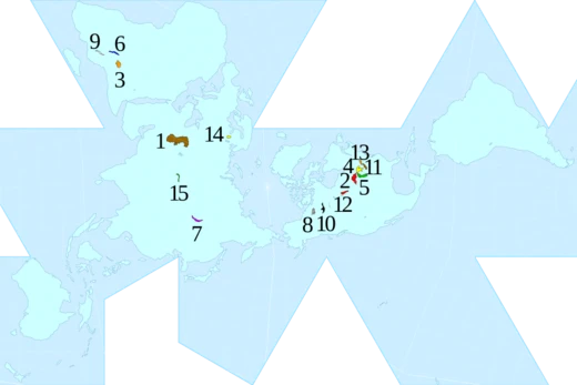
Lake Urmia
Endorheic salt lake in Iran, once the largest in West Asia.

NASA · Public domain
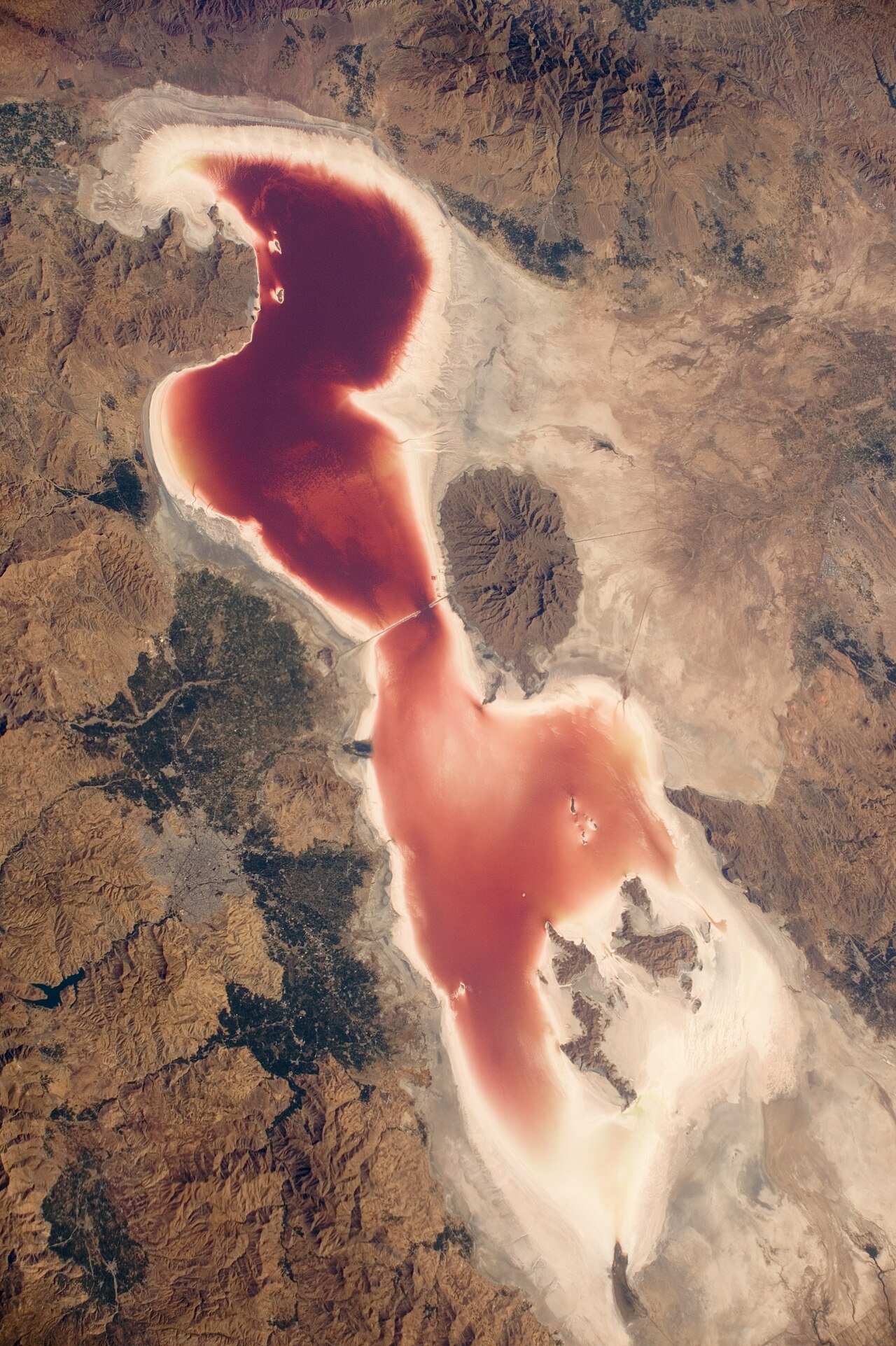
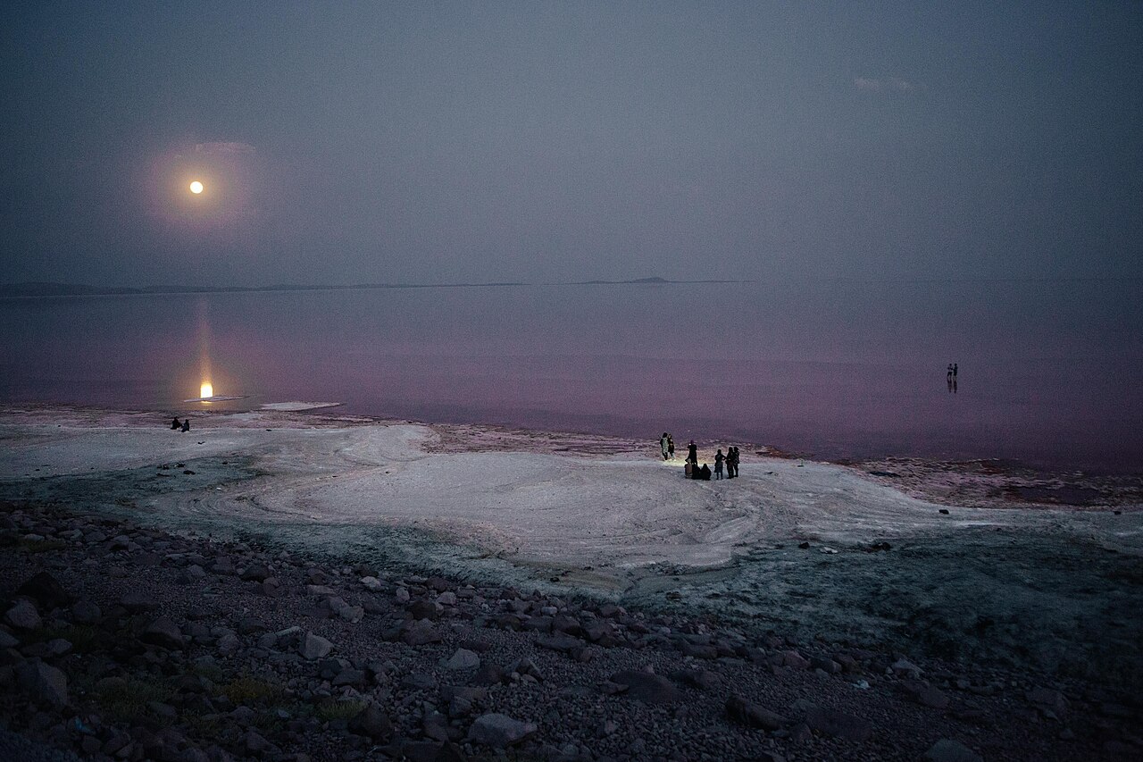
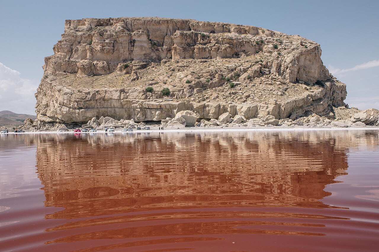
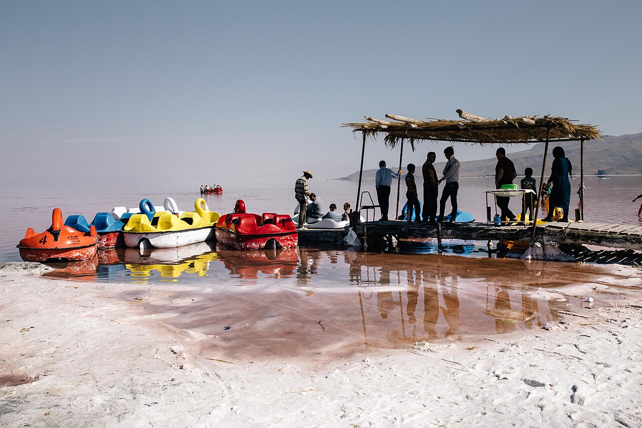
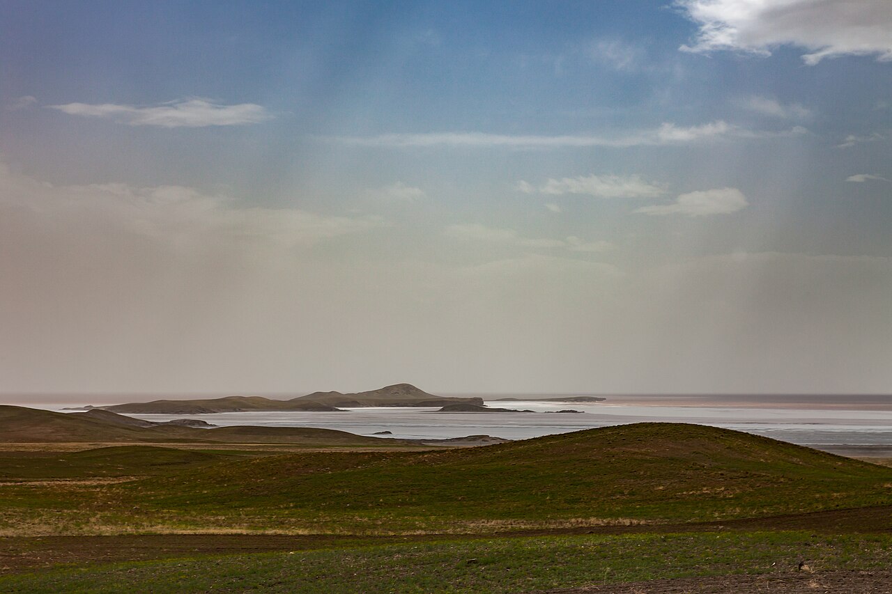
Lake Urmia is an endorheic salt lake in Iran, located in the Iranian region of Azerbaijan, near the Armenian border and south of the Caspian Sea. At its greatest extent, it was the largest lake in West Asia and once the sixth-largest saltwater lake on Earth, with a surface area of approximately 6,000 km², a length of 140 km, a width of 70 km, and a maximum depth of 20 m. The lake, along with its approximately 102 former islands, is protected as a national park by the Iranian Department of Environment and is an internationally registered UNESCO Biosphere Reserve and Ramsar site.
- Location
- Iranian region of Azerbaijan, near the Armenian border and south of the Caspian
- Maximum surface area
- Approximately 6,000 km² (2,300 sq mi)
- Maximum length
- 140 km (87 mi)
- Maximum width
- 70 km (43 mi)
- Maximum depth
- 20 m (66 ft)
- Protected status
- National park, UNESCO Biosphere Reserve, Ramsar site
- Number of former islands
- Approximately 102
Verified Timeline
Lore & Background
Lake Urmia has a long history of human settlement, with prehistoric sites such as Yanik Tepe on its east shore, excavated in the 1950s and 1960s by C. A. Burney, dating back to 6000 BC. The area south of the lake contains excavated sites including Dalma Tepe, Teppe Hasanlu, Geoy Tepe, and Hajji Firuz Tepe. Assyrian records from the 9th century BCE mention names in the lake's area, including Parsuwaš and Matai, though it is not completely clear whether these referred to places or tribes. In the last five hundred years, the area has been home to Azerbaijanis, Kurds, Persians, Assyrians, and Armenians. The lake's name has multiple proposed etymologies. Richard Nelson Frye suggested an Urartian origin, while T. Burrow connected it to Indo-Iranian urmi- 'wave' and urmya- 'undulating, wavy.' A more likely etymology is from Neo-Aramaic (Sureth), with ur meaning 'city' and mia meaning 'water,' together 'water city.' Its Old Persian name was Chichast, meaning 'glittering,' and the Greeks called it Spauta. The lake is divided into north and south by the Urmia Lake Bridge and its associated causeway, completed in 2008, which provides only a 1.5 km gap for water exchange. By late 2017, the lake had shrunk to 10% of its former size (and 1/60 of water volume in 1998) due to persistent general drought in Iran, damming of rivers, and pumping of groundwater. The dry spell was broken in 2019, and the lake began filling up again due to increased rain and water diversion from the Zab River under the Urmia Lake Research Programme. The trend reversed again in the early 2020s, and a combination of drought and administrative mismanagement caused a renewed acute drop in water levels. Based on NASA's satellite imagery, the lake had almost entirely dried up by September 2025. After massive rainfall across the Fertile Crescent, along with the mass release of surplus water from dams and dredging of canals, in early 2026, the water level in Lake Urmia rose to its highest in five years.
Reader's Guide
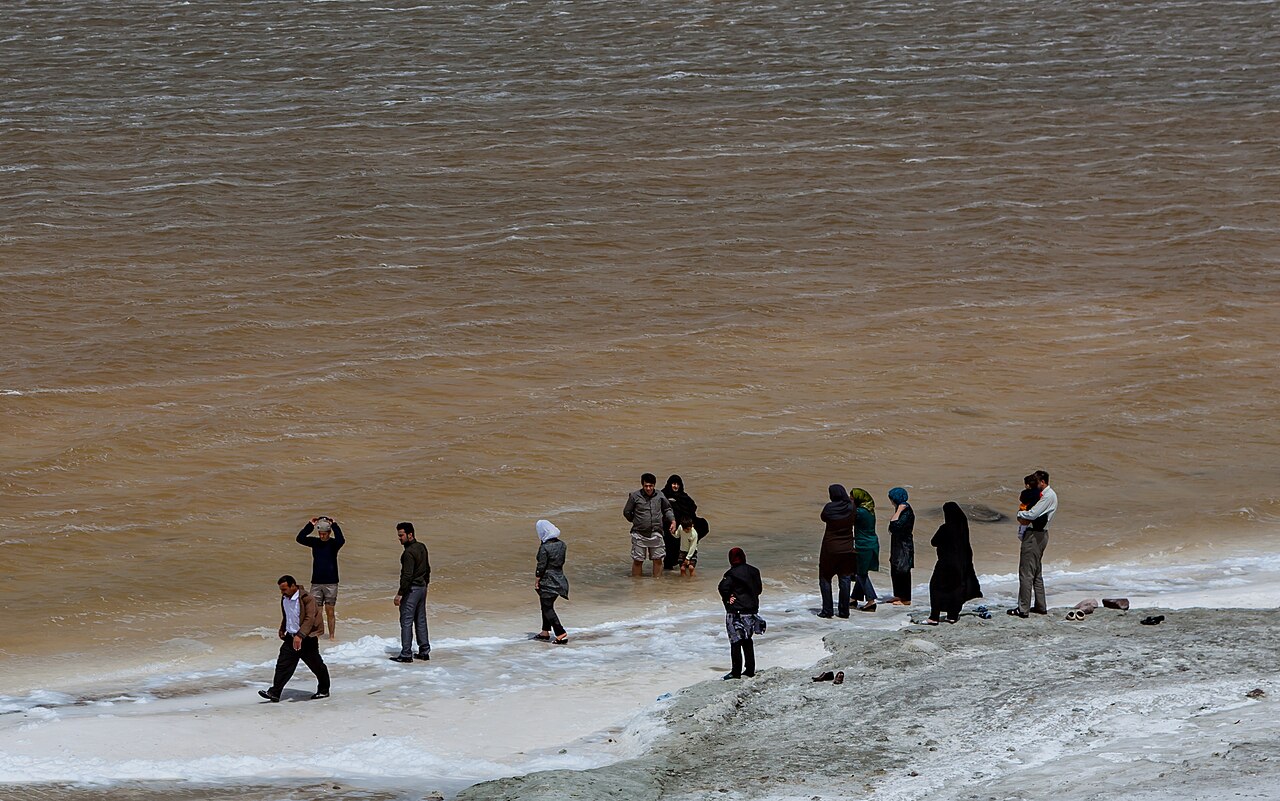
Lake Urmia's significance lies in its ecological and historical importance as a major saltwater lake in West Asia. Based on the latest checklists of biodiversity in 2014 and 2016, it is home to 62 species of archaebacteria and bacteria, 42 species of microfungi, 20 species of phytoplankton, 311 species of plants, five species of mollusca, 226 species of birds, 27 species of amphibians and reptiles, and 24 species of mammals. The lake is a critical habitat for migratory birds such as flamingos, which feed on the brine shrimp Artemia urmiana, though in early 2013 the then-head of the Iranian Artemia Research Center quoted that Artemia urmiana had gone extinct due to drastic increases in salinity, a claim later contradicted, and another population was discovered in the Koyashskoye Salt Lake at the Crimean Peninsula. The lake's high salinity, rising to more than 300 g/L, has eliminated any fish species. The lake's decline has been driven by drought, increased demands for agricultural water, and the construction of the causeway and bridge, which experts warn could lead to the lake drying up and becoming a salt marsh, adversely affecting the climate of the region. Recovery efforts include a 14 trillion rial program approved in July 2014 by President Hassan Rouhani, a plan with the United Nations Development Programme in March 2014 calling for $225 million in the first year and $1.3 billion overall, and a project with the Food and Agriculture Organization starting in 2016. The lake's fluctuating water levels highlight the challenges of balancing human water use with environmental preservation in a region subject to drought and administrative mismanagement.
Did You Know?
- The lake's Old Persian name was Chichast, meaning 'glittering,' a reference to the glittering mineral particles suspended in the water.
- By late 2017, the lake had shrunk to 10% of its former size and 1/60 of its water volume in 1998.
- Based on NASA's satellite imagery, the lake had almost entirely dried up by September 2025.
- The lake is home to 226 species of birds, including flamingos that feed on the brine shrimp Artemia urmiana.
- The Urmia Lake Bridge, completed in 2008, provides only a 1.5 km gap for water exchange between the north and south sections.
Gallery
Frequently Asked Questions
Who is Lake Urmia?
Lake Urmia is an endorheic salt lake set in Iran's Azerbaijani region, tucked between the Caspian Sea to the north and the Armenian border to the west. It once held the title of the largest lake in all of West Asia.
What are Lake Urmia's powers/role?
At its peak, the lake stretched roughly 6,000 square kilometers, making it the sixth-largest saltwater body on Earth. It measured up to 140 km long, 70 km wide, and about 20 m at its deepest point, and it once cradled around 102 islands within its waters.
How does Lake Urmia's story end?
The lake has suffered severe shrinkage, and its roughly 102 former islands have largely vanished as water levels receded. Even in this diminished state, it persists as a protected national park managed by Iran's Department of Environment.
Why is Lake Urmia important?
It carries a triple designation as a national park, a UNESCO Biosphere Reserve, and a Ramsar wetland site, reflecting its outsized ecological value. Its unique hypersaline ecosystem and dramatic geographic scale make it a defining landmark of West Asian hydrology.
Where does Lake Urmia appear in the series?
Its real-world setting is the Iranian region of Azerbaijan, positioned south of the Caspian Sea and near the Armenian border. That crossroads location is what gave it the standing of the region's dominant inland water body at its greatest extent.
More in Lakes Of The World 1-18
Spotted an error? Know more?
This is a living reference — every entry is fact-audited, and reader corrections feed straight into our audit queue. Suggest an edit · See this site's audit record